River and canal cruise maps
Maps to discover the inland waterways via the canals and rivers of France and other destinations
Cruise maps of the different waterways
On this page, you'll find maps of France's inland waterways, including the canals and rivers. If you're planning a hotel barge cruise or self-drive boat rental, the maps will help you plan your trip. Don't forget you can always use the Cruise Expert page, and our team will help you find the perfect boating vacation.
The French waterways with the rivers and canals
- Map showing the main rivers and towns of France
- Map showing the navigable inland waterways of France with the rivers and canals
- Understand the main navigation routes of the inland waterways through France.
French regional maps
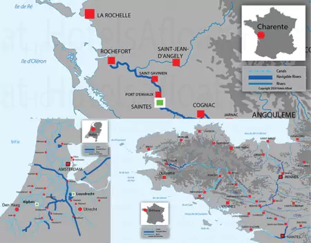
Maps showing the French regions' major rivers and canal networks.
- Central and Burgundy rivers and canals
- Eastern waterways and canals
- Atlantic coastline with the Loire River
- English Channel with the rivers Seine and Somme
- Mediterranean coast with the River Rhone
Canals and rivers in other countries
Maps of British Waterways
- Norfolk Broads, the main navigation areas for boat rentals
- Caledonian Canal in Scotland with the Lochs
Maps of the Dutch waterways
- Southern Holland with Amsterdam and Haarlem
- Northern Holland, including the Freisland region
Maps of the Irish Waterways
Maps of Italian waterways
All the waterways, with facts, figures and history of the canals and rivers.
Please do not use the maps for navigation purposes; their only use should be as guides for preparing barge and boat cruise vacations.
©Copyright 2010 - 2026 Hotels Afloat France
v3.21