Yonne map

The source is at Glux-en-Glenne and the mouth is the Seine.
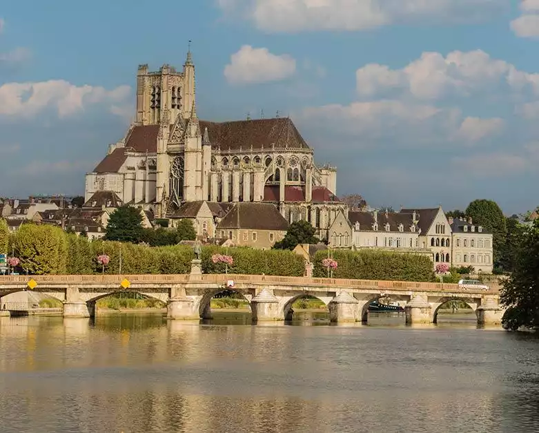
Navigation on the Yonne starts at Auxerre and ends at Montereau-Fault-Yonne.
The Yonne is 292.00 kilometres long (181.44 miles) with a total of 108.00 kilometres of navigable waterway.
There is a total of 26 locks, with an average of 1 lock every 4.15 kilometres (2.58 miles).
The highest point on the Yonne is 738.00 metres (2421′ 3″ ft) above sea level and the lowest point is at 55.00 metres (180′ 5″ ft) above sea level.
From Auxerre to Montereau-Fault-Yonne
The water draft is 1.80 metres (5′ 11″ ft) and the air draft is 4.20 metres (13′ 9″ ft).
Auxerre to Laroche-Saint-Cydroine
There are 9 "Large" locks
Lock length 93.00 metres (305′ 1″ ft)
Lock width 8.30 metres (27′ 3″ ft)
Laroche-Saint-Cydroine to Chaumont
There are 14 "Large" locks
Lock length 96.00 metres (314′ 12″ ft)
Lock width 8.30 metres (27′ 3″ ft)
Chaumont to Montereau-Fault-Yonne
There are 3 "Large" locks
Lock length 96.00 metres (314′ 12″ ft)
Lock width 10.20 metres (33′ 6″ ft)
The River Yonne has an important role in connecting the waterways for the south and north of France. The river flows northwards into the Seine just south of Paris, whilst upstream from Auxerre the Canal du Nivernais connects the river to the Loire canals at Décize.
Barges cruising on the Yonne
| Name | Itinerary | Passengers | |
|---|---|---|---|
| Luciole | Classic Cruise | 12 | View the itinerary |
| L'Art de Vivre | Auxerre to Chevroches | 8 | View the itinerary |
| Luciole | Adventure Charter | 12 | View the itinerary |
Self-drive boats cruising on the Yonne
| Fleet | Cruise route | |
|---|---|---|
| Locaboat by Riverly | Burgundy Canal | View the Locaboat by Riverly boats |
| Locaboat by Riverly | Nivernais Canal and River Yonne | View the Locaboat by Riverly boats |
| Le Boat | Nivernais and Yonne | View the Le Boat boats |
| France Passion Plaisance | Canal du Nivernais | View the France Passion Plaisance boats |